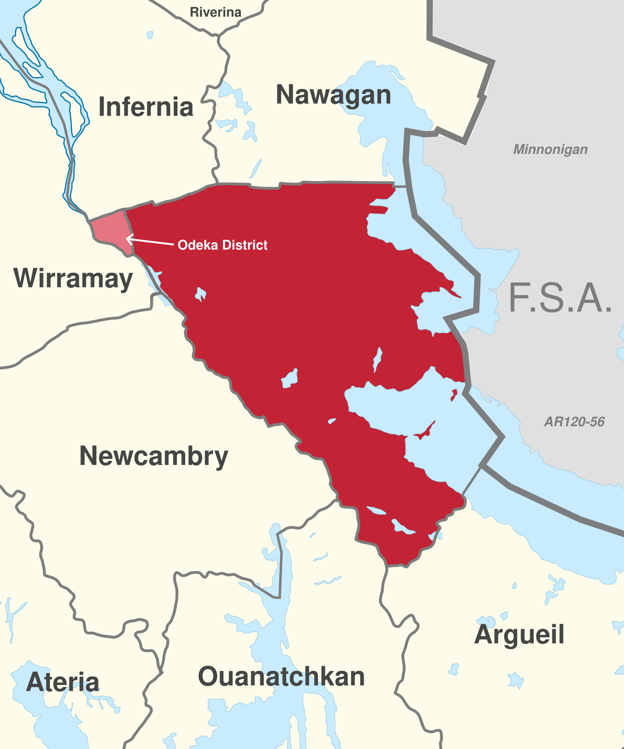
File:DE-AA location.png
Size of this preview: 500 × 600 pixels. Other resolution: 2,000 × 2,400 pixels.
Original file (2,000 × 2,400 pixels, file size: 527 KB, MIME type: image/png)
Summary
Licensing
| This map is a derivative of the OpenGeofiction base map, which is licensed under the Creative Commons Attribution-NonCommercial-ShareAlike License and is released under the same license. |
File history
Click on a date/time to view the file as it appeared at that time.
| Date/Time | Thumbnail | Dimensions | User | Comment | |
|---|---|---|---|---|---|
| current | 23:51, 19 January 2025 | | 2,000 × 2,400 (527 KB) | Varnel maiser (talk | contribs) | Changing to location image |
| 19:05, 26 March 2022 | 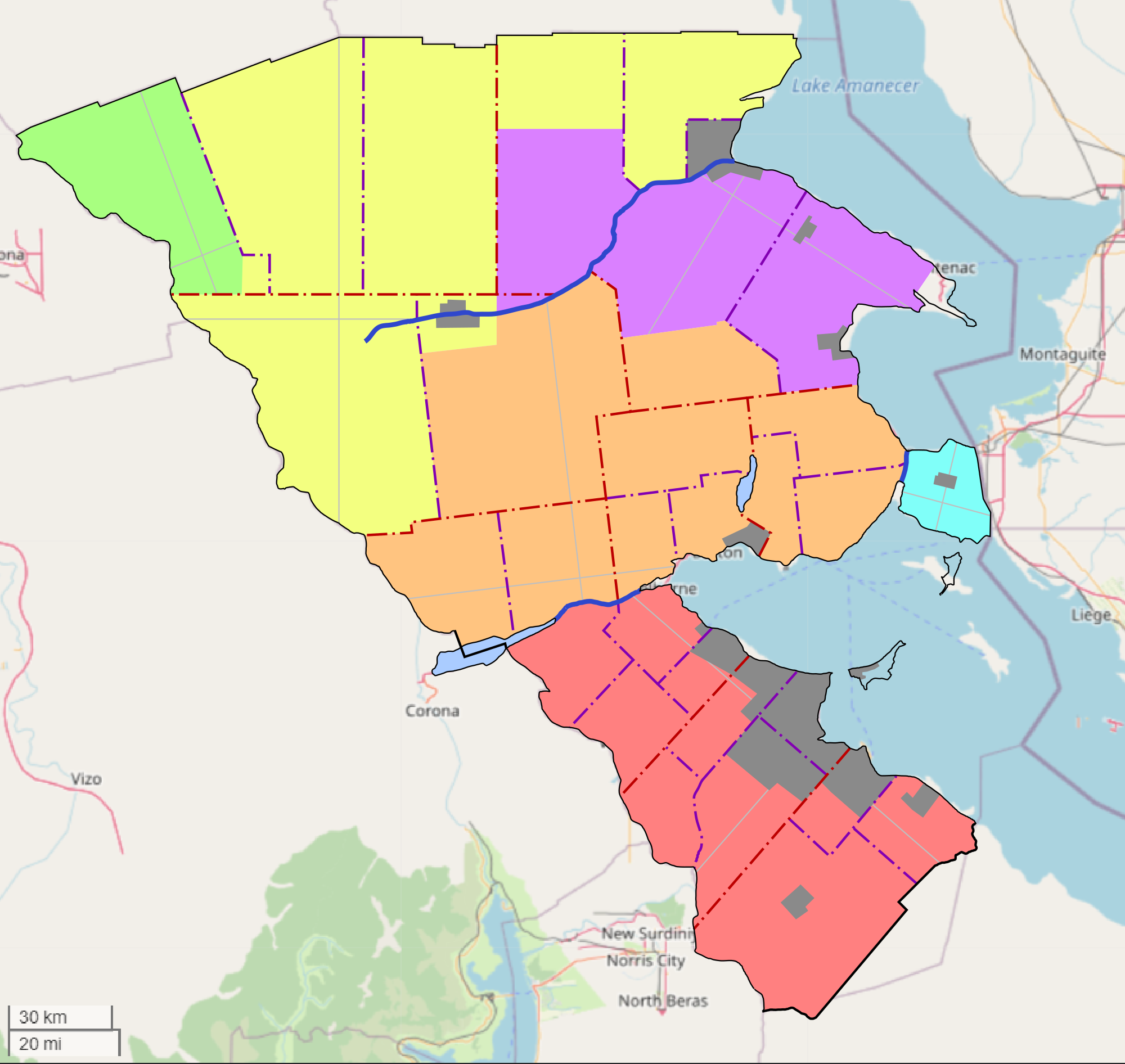 | 2,000 × 1,892 (544 KB) | Varnel maiser (talk | contribs) | Category:Agawaskway |
You cannot overwrite this file.
File usage
The following 2 pages use this file:
- File:Agawaskway baseplan plss.png (file redirect)
- Collab:Deodeca/Agawaskway