Category:Demographic maps
This category includes maps of population distribution and density, demographic makeup by ethnicity or language, and similar plotting of human geography.
Media in category "Demographic maps"
The following 25 files are in this category, out of 25 total.
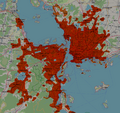
- Aden Cities.png 990 × 1,400; 245 KB
- Aden Population Distribution.png 1,985 × 1,405; 461 KB
- Alormen counties - rough population estimate.jpg 768 × 586; 276 KB
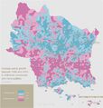
- Antharia Population Change.jpeg 3,000 × 3,144; 530 KB
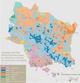
- Antharian Languages outside Romanish.jpeg 3,000 × 3,144; 592 KB
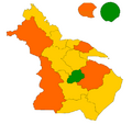
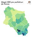
- Barzona HDI by department.png 716 × 674; 22 KB
- Cities of Izaland.png 1,414 × 2,000; 233 KB
- Demirhan language map.png 3,500 × 2,300; 558 KB
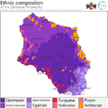
- EthnicityQennes.png 3,000 × 3,000; 446 KB
- Greater Saindzaul.png 969 × 914; 846 KB
- HDI1.png 1,500 × 1,741; 346 KB
- Kojo city population circles.PNG 1,942 × 1,423; 146 KB
- Language map proposal.png 1,155 × 817; 419 KB
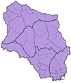
- Map of the Episcopal conference of Barzona.png 1,168 × 1,062; 66 KB
- New People.svg 1,411 × 872; 859 KB
- Old People.svg 1,411 × 872; 859 KB
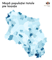
- Population Commune.png 1,500 × 1,741; 472 KB
- QN Subdivisions.png 1,500 × 1,729; 663 KB
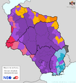
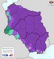
- QNEthnicities.png 1,500 × 1,632; 611 KB
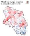
- QNGrowth Rate.png 1,500 × 1,741; 605 KB
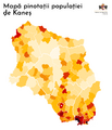
- QNPop Density.png 1,500 × 1,741; 488 KB
- QNReligion.png 1,500 × 1,632; 587 KB
- Tarap Hidivlik - languages.png 1,920 × 817; 107 KB
- Yym Pangs GMNHI.svg 650 × 600; 109 KB
- Yym Pangs popdens.Svg 650 × 600; 89 KB


