File:Suvuma Territory Division.svg

Size of this PNG preview of this SVG file: 587 × 600 pixels. Other resolution: 2,005 × 2,048 pixels.
Original file (SVG file, nominally 1,481 × 1,513 pixels, file size: 462 KB)
Summary
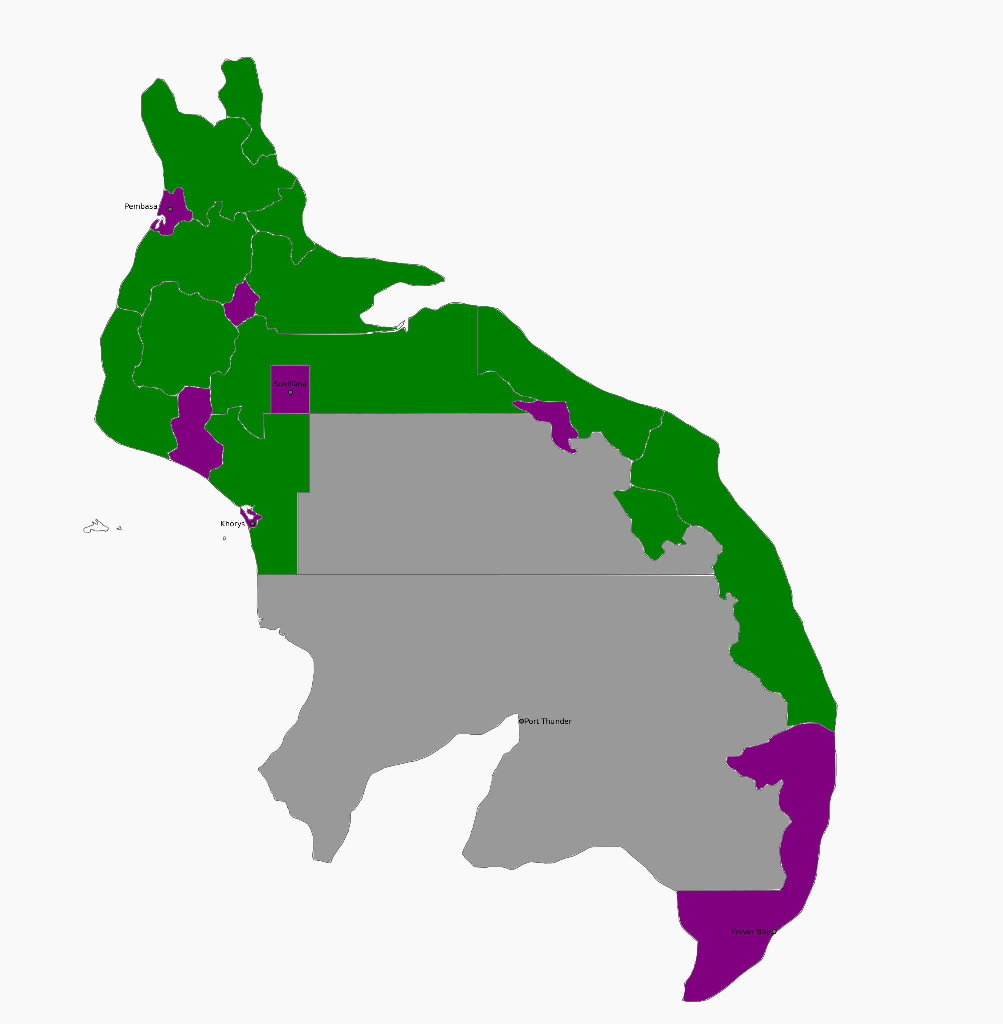
Map sourced from OGF of Suvuma
Licensing
| This map is a derivative of the OpenGeofiction base map, which is licensed under the Creative Commons Attribution-NonCommercial-ShareAlike License and is released under the same license. |
File history
Click on a date/time to view the file as it appeared at that time.
| Date/Time | Thumbnail | Dimensions | User | Comment | |
|---|---|---|---|---|---|
| current | 02:25, 18 February 2025 | | 1,481 × 1,513 (462 KB) | Davieerr (talk | contribs) | Map sourced from OGF of Suvuma |
You cannot overwrite this file.
File usage
The following page uses this file: