File:Passitania-flag.png
Size of this preview: 800 × 533 pixels. Other resolution: 846 × 564 pixels.
Original file (846 × 564 pixels, file size: 30 KB, MIME type: image/png)
Summary
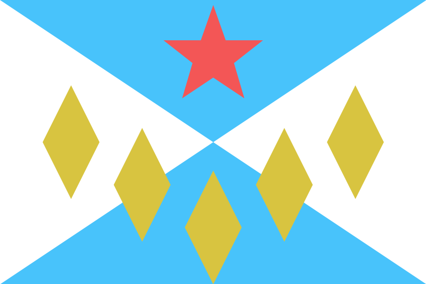
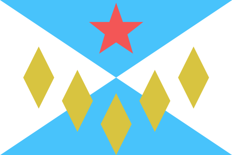
Flag for the FSA state of Passitania. Made using https://flagmakerjr.stg7.net
License
| This flag is a contribution of the OpenGeofiction community and is licensed under the Creative Commons Attribution-NonCommercial-ShareAlike License. Any non-original content is detailed in the image summary. |
File history
Click on a date/time to view the file as it appeared at that time.
| Date/Time | Thumbnail | Dimensions | User | Comment | |
|---|---|---|---|---|---|
| current | 17:49, 29 January 2025 | | 846 × 564 (30 KB) | PoisonDog522 (talk | contribs) | Flag for the FSA state of Passitania. Made using https://flagmakerjr.stg7.net |
You cannot overwrite this file.
File usage
The following 26 pages use this file:
- Alormen
- Apawiland
- Arecales
- Astrantia
- Clamash
- Des Plaines
- Federal States
- Madawan
- Makaska
- Mennowa
- Minnonigan
- Orange Coast
- Passamaqueets
- Passitania
- Penquisset
- Riopoderos
- Tempache
- Wauseka
- West Massodeya
- Wisecota
- Wychelle
- User:Canada LaVearn/Wisecota
- Template:Passitania
- Template:Political divisions of the Federal States
- Collab:Federal States
- Index:States of the Federal States